
Back in 2004 I saw that my efforts on claiming all of the hills of the Forest of Bowland in Lancashire as my own was doomed to failure if I could not bag a distant morland hill called Wolfhole Crag. Bagging this hill was one of the few times when I have walked beyond my own strength and regretted the attempt even before I got to the end of the walk. Being one of the first days in February, the weather was bitterly cold and the dark came many hours before the walk ended. I started on my bike from Lancaster cycling past the River Conder over to the village of Quernmore covering 5 km easily in just less than an hour. Then I got a puncture on the rear wheel. I abandoned my original plan which was to circle the hills to Tarnbrook and then do an hour or so on foot. However a moment of complete insanity took over and I decided to strike out for Wolfhole Crag from Quernmore crossing the moorland itself. So I locked up the bike and headed up the most westerly of the hills. I followed the Rowton Brook up the westerly flank of Clougha Pike before reaching the stoney summit. From there I then crossed the moorland over to broad plateau of Grit Fell. The photo above is the vast expanse of moorland between Grit Fell and Wards Stone. The picture captures what is romantically known as the Black Side of Wards Stones.

As I crossed Cabin Flat the view over to the southern arm of hills in the Forest of Bowland could be seen quite well. The picture above shows Whins Brow, Blaze Moss and Totridge. These three hills along with White Hill on the northern line would always be those hills that were too far away to do without a car.

The moorland on Cabin Flat was exceptionally wet. Every few steps you would go knee deep in grass covered hole of freezing water. On one occasion my whole leg went in and ended up doing the splits.

Here and there large rocks would lay scattered around, either the result of glacial deposition or having broken off some nearby outcrop and moved here by eons of little earthquakes.

Upon reaching the top of Ward's tone its 561m elevation allowed for the first view of the goal. Wolfhole Crag could be seen in the east. Between there and here lay a shocking expanse of pathless treacherous moorland.

After a few hours of negotiating with bog I finally arrived at the almost lunar like landscape of Wolfhole Crag.

Though the wall that ran across the top of the hill was a sign of human life, it was the only one. Having not seen one person all day and not being able to see any human settlements, left me feeling extremely isolated.

The summit was adorned with an interesting array of boulders, some had arrows scratched on them.

This was one last look east. I had crossed the entire county of Lancashire and was now staring into Yorkshire.

The boulders showed heavy erosion indicating that they had been exposed for a long time, and that no recent moorland collapse had exposed them.

A look north revealed the tantalisingly close Ingleborough.

Then the real fun began. Having walked 20km to the Yorkshire boarder the sun began to set. I considered that trying to pick my way across the moor in the dark to be total madness and struck out southwards to the road that that cuts through the centre of the forest. As it got darker I got quicker, until I was running down the hillside in the twilight trying to catch sight of the road before the light failed completely. Then in the gloom I found the road. I walked down it in the dark for a few hours before a vehicle appeared. I stuck up my thumb and hitched a lift back to Quernmore with a farmer and his dog. There, in the dark I retrieved my bike and pushed it all the way home in the dark. I reached home after covering 38km and was so exhausted that I couldn't climb the stairs. It was great fun but it would not be the last time that I would walk way beyond my ability.
 Back in 2009 I spent a week in spring up in Scotland near the seaside town of Largs. Over the week several birds crossed my path. The Gannet (Morus bassanus) above made several dives whilst we watched.
 A Curlew (Numenius arquata).
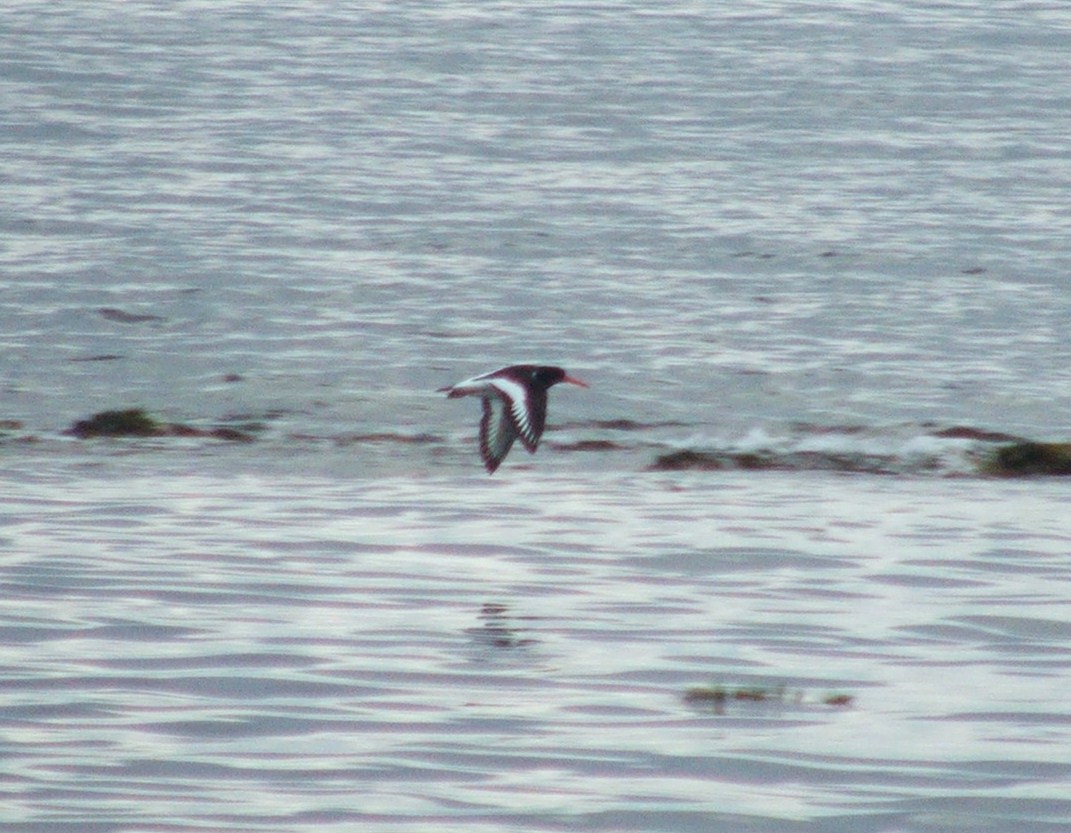 An Oystercatcher (Haematopus ostralegus).
 On the mainland near Largs, a couple of Shelduck (Tadorna tadorna) strolled along.
 On the ferry to Arran a Skylark (Alauda arvensis) hitched a ride.
 A first for me, a Black Guillemot (Cepphus grylle) from the Arran ferry.
 Another first for me, Red-breasted Mergansers (Mergus serrator) on the Island of Arran.
 On the ferry back from Arran, a Herring Gull (Larus argentatus) followed the boat looking for food. The red spot on its beak confirms its identity.


